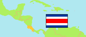
Bijagua de Upala (Costa Rica)
Contents: District (urban part)
The population development of Bijagua de Upala as well as related information and services (weather, Wikipedia, Google, images).
| Name | Province | Population Census 1984-06-10 | Population Census 2000-06-28 | Population Census 2011-05-30 | |
|---|---|---|---|---|---|
| Bijagua de Upala | Alajuela | ... | 963 | 654 | → |
Source: Instituto Nacional de Estadística y Censos (web).
Explanation: For districts, the urban population is presented. The area in the map, however, represents the complete district. The census figures are not adjusted for underenumeration.
Further information about the population structure:
| Gender (C 2011) | |
|---|---|
| Males | 319 |
| Females | 335 |