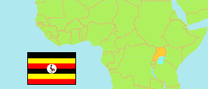
Acholi
Subregion in Uganda
Contents: Subdivision
The population development in Acholi as well as related information and services (Wikipedia, Google, images).
| Name | Status | Population Census 2014-08-27 | Population Census 2024-05-10 | |
|---|---|---|---|---|
| Acholi | Subregion | 1,500,762 | 2,044,355 | |
| Agago | District | 227,792 | 307,235 | → |
| Amuru | District | 186,696 | 247,574 | → |
| Gulu | District | 108,428 | 135,373 | → |
| Gulu City | City | 185,042 | 233,271 | → |
| Kitgum | District | 204,048 | 239,655 | → |
| Lamwo | District | 134,371 | 213,156 | → |
| Nwoya | District | 133,506 | 220,593 | → |
| Omoro | District | 142,875 | 207,339 | → |
| Pader | District | 178,004 | 240,159 | → |
| Uganda | Republic | 34,634,650 | 45,905,417 |
Source: Uganda Bureau of Statistics.
Further information about the population structure:
| Gender (C 2024) | |
|---|---|
| Males | 985,339 |
| Females | 1,059,016 |
| Age Groups (C 2024) | |
|---|---|
| 0-17 years | 1,029,392 |
| 18-59 years | 921,094 |
| 60+ years | 93,869 |
